Granittrail overall
Granittrail overall
Mountain bike tour Starting from Gmünd
Gmünd - Wielands - Unserfrau - Weitra - Spital - Oberwindhag - St. Martin - Kleiner Semmering - Bruderndorf - Langschlag - Groß Gerungs - Arbesbach - Altmelon - Schönbach - Bärnkopf - Gutenbrunn - Yspertal - Altenmarkt - Persenbeug - Ybbs/Donau
- Starting point of the tour
- Gmünd
- Tour destination
- Ybbs/Danube
- Fitness level required:4/6
- Overall experience:6/6
- Scenery:6/6
- Singletrack scale:1/6
- Lowest point
- 219 m
- Highest point
- 971 m
Gmünd - Wielands - Unserfrau - Weitra - Spital - Oberwindhag - St. Martin - Kleiner Semmering - Bruderndorf - Langschlag - Groß Gerungs - Arbesbach - Altmelon - Schönbach - Bärnkopf - Gutenbrunn - Yspertal - Altenmarkt - Persenbeug - Ybbs/Donau
The Granittrail covers a distance of 157 kilometers and around 3,000 meters of altitude in 3 stages from the Waldviertel to the Danube, namely from the Czech border from Gmünd via Groß Gerungs, Bärnkopf, Gutenbrunn and Altenmarkt to Persenbeug and Ybbs/Donau.
There are some who complete the entire tour in ONE day - as training for a cycling marathon, for example. The Granittrail cannot be completed in one go by the average cyclist, at best in two parts, but preferably in three stages with overnight stays in one of the recommended accommodations.
Leave the organization and luggage to us so that you can fully enjoy your hiking experience. >> TO PLANNING
Make sure when choosing your route that it fits your fitness level. Check whether the restaurants you want to visit along the way are open. Pack your charged mobile phone and maps in your backpack.
We recommend wearing a bike helmet. Wear appropriate clothing and sturdy footwear. Remember rain and sun protection. Also take enough to drink.
Stage 1: Gmünd – Langschlag (48 km)
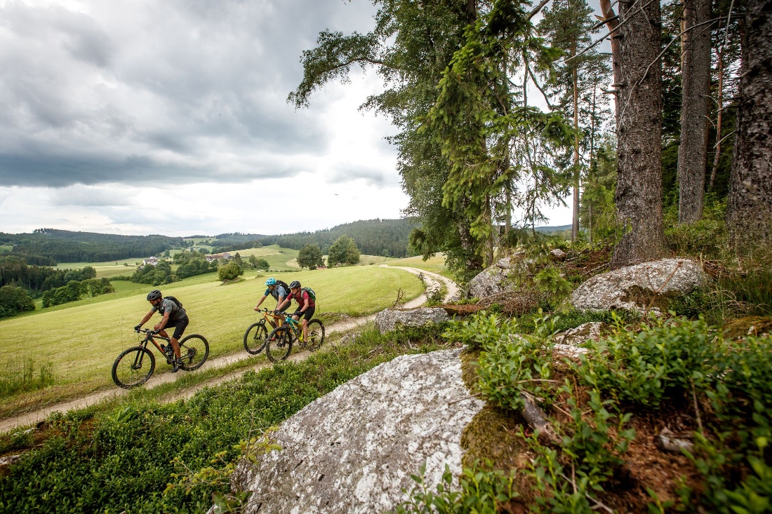
Start in Gmünd, passing Ehrendorf and Unserfrau with its pilgrimage church and small castle pond. After Weitra – Austria’s oldest beer town – the route goes through panoramic landscape towards Oberwindhag and St. Martin, where carpentry and wood carving invite you. Along the "Railway Experience Trail" follows the longest ascent, lined with granite blocks. The stage ends at Frauenwieserteich in Langschlag.
The detailed route description for stage 1 can be found here: https://www.waldviertel.at/a-granittrail-1-teiletappe-gmuend-langschlagStage 2: Langschlag – Gutenbrunn (approx. 60 km)
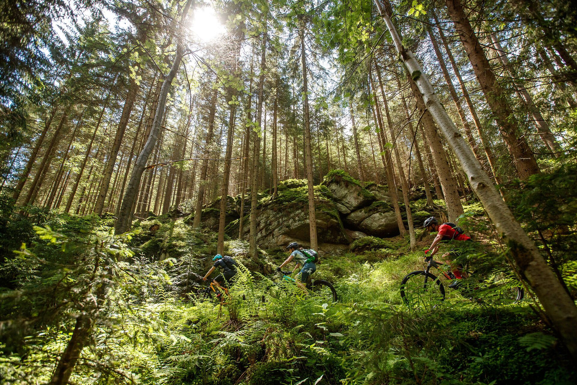
From Langschlag via power places in Groß Gerungs to Arbesbach with its striking ruin. Then varied forest and meadow paths, impressive granite formations, and a long uphill climb to the mountain lake at Wachtberg. The goal is Bärnkopf, the highest municipality in Waldviertel. After a short descent, the stage ends in Gutenbrunn.
The detailed route description for stage 2 can be found here: https://www.waldviertel.at/a-granittrail-2-teiletappe-langschlag-gutenbrunnStage 3: Gutenbrunn – Ybbs/Donau (approx. 50 km)
Highlight is the Yspertal – a scenic gem between the Ostrong mountains and the Danube. Gentle descents, quiet villages and views up to the Ötscher accompany the route. In Altenmarkt you either continue directly or take a challenging trail to the Danube. The target is Ybbs with a visit to the bicycle museum.
The detailed route description for stage 3 can be found here: https://www.waldviertel.at/a-granittrail-3-teiletappe-gutenbrunn-ybbsdonauFind the best and fastest way to the start point of the route using the route planner: https://www.google.at/maps
All information about bus and train lines to Waldviertel can be found at www.vor.at or at www.oebb.at.
Recommended period
J
F
M
A
M
J
J
A
S
O
N
D
Leider können wir Ihnen zum jetzigen Zeitpunkt keine Wetterdaten für den Ort anzeigen.
Waldviertel Tourism
3910 Zwettl, Sparkassenplatz 1/2/2
(T) +43 2822 54109
(E) info@waldviertel.at
(I) www.waldviertel.at
Letzte Änderung: 4 Aug 2026