
Weitra hiking trail 34
Rundweg Weitra - Spital - Großwolfgers - Ulrichs - Weitra, Nr. 34
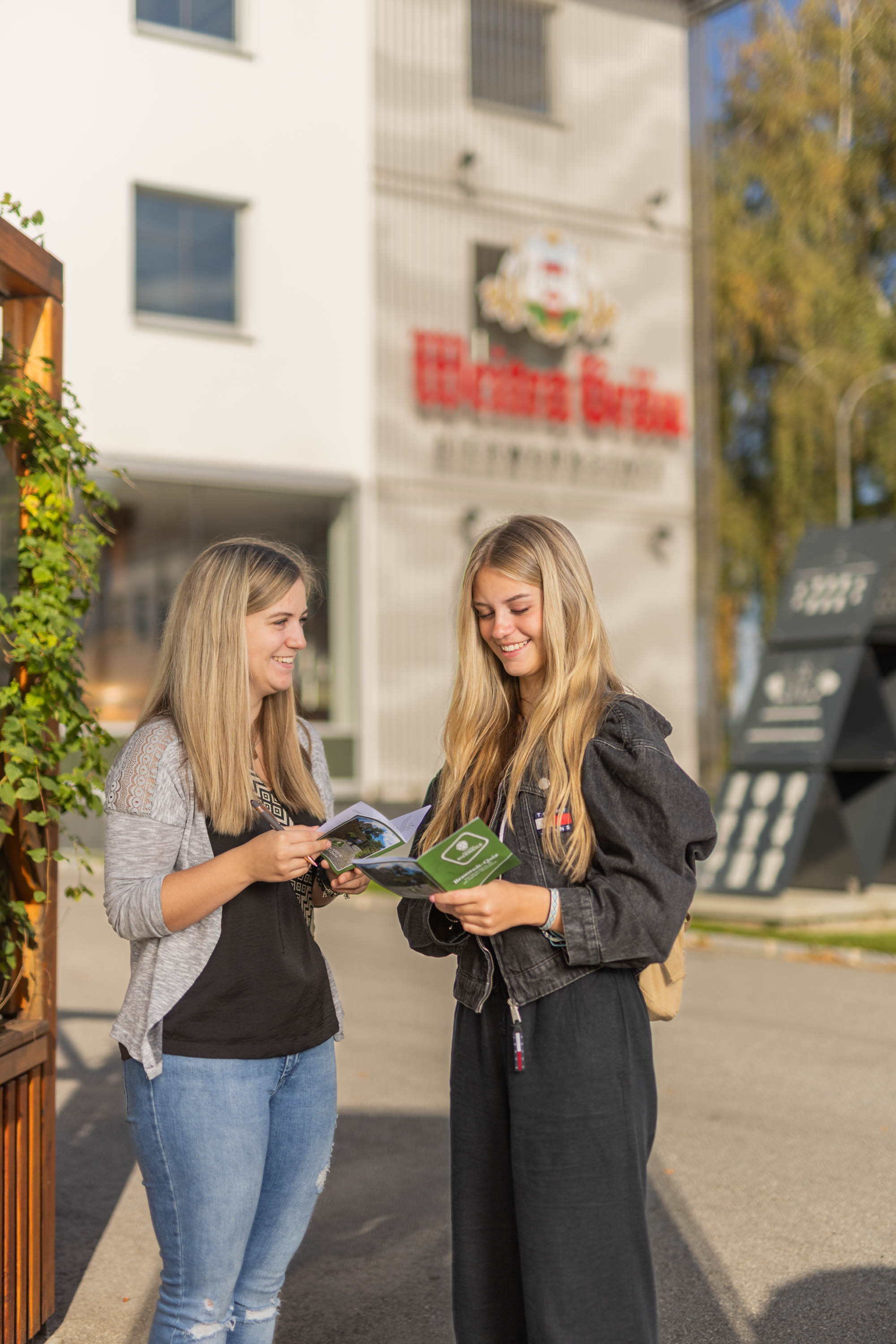
Hiking tour Starting from Sparkasseplatz, near the information signs in front of the brewery
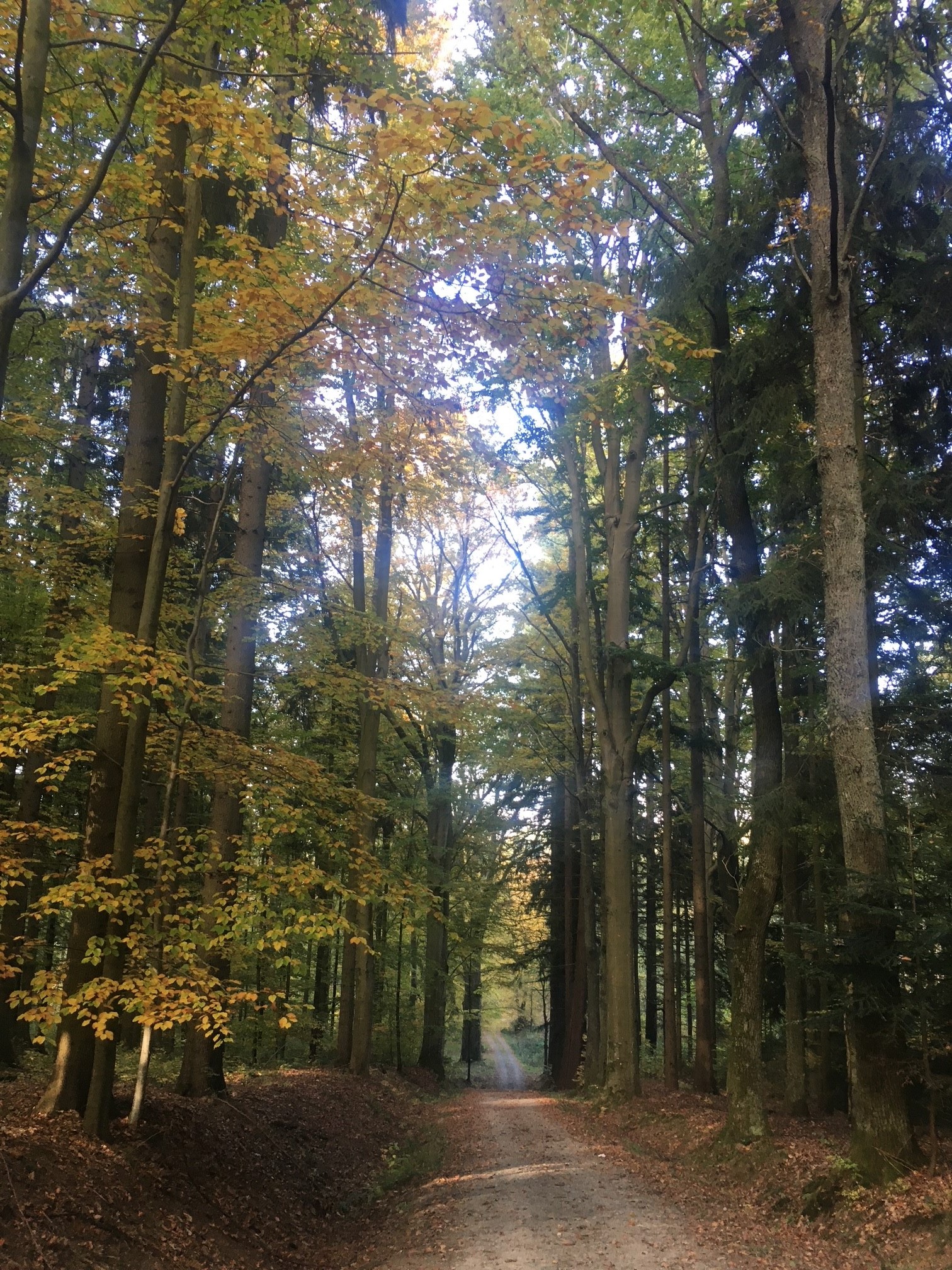
This idyllic loop trail takes you through the gently rolling countryside from Weitra to Spital, one of the oldest towns in the Waldviertel region.
- Starting point of the tour
- Sparkasseplatz, near the information signs in front of the brewery
- Tour destination
- Sparkasseplatz, near the information signs in front of the brewery
- Fitness level required:1/6
- Overall experience:1/6
- Scenery:1/6
- Lowest point
- 516 m
- Highest point
- 658 m
This idyllic loop trail takes you through the gently rolling countryside from Weitra to Spital, one of the oldest towns in the Waldviertel region.
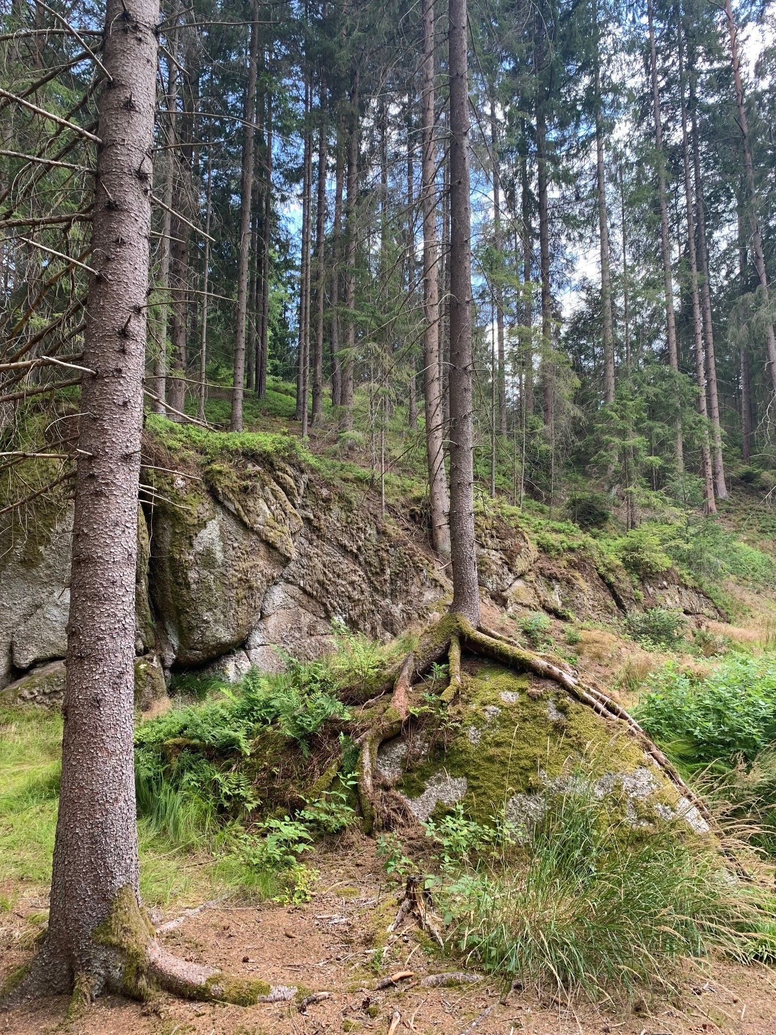
From the start at Sparkasseplatz via trail no. 33 to Spital - in Spital turn left - follow the main road to the lower end of Spital. Take the goods road branching off to the right - sewage treatment plant - cross the main road 119 - follow the forest path to Kleinmühle - cross the stream - turn left onto long-distance hiking trail no. 624 - pass close to the giant spruce to Großwolfgers. In Großwolfgers, leave the long-distance hiking trail no. 624 - turn left through the village - uphill between 2 houses until the asphalt estate road turns right - via Pfaffenau to Ulrichs - on asphalt paths to the starting point in Weitra.
Sportswear, athletic shoes, and hiking boots.
Starting from Weitra, the hike continues to Spital along the forest trail to the Kleinmühle, then past the Giant Spruce to Großwolfgers—through Pfaffenau to Ulrichs and back to Weitra.
Parking is available in the designated parking lots P1 through P5.
North: Gmünd, Weitra,
East: Vienna, Krems, Zwettl, Weitra,
South: Linz, Freistadt, toward Grünbach, Sandl, Weitra
In Spital, one of the oldest towns in the Waldviertel region, you can visit the parish church of St. John the Baptist, where Gothic frescoes in the tower bay can still be seen today.
Recommended period
J
F
M
A
M
J
J
A
S
O
N
D
Leider können wir Ihnen zum jetzigen Zeitpunkt keine Wetterdaten für den Ort anzeigen.
Weitra Tourist Information
Rathausplatz 1, 3970 Weitra
(T) +43 2856 5006-50
(E) tourismusservice@weitra.gv.at
Letzte Änderung: 4 Aug 2026